
Phase V of Oxford Area Trails System now open to public
“It’s a wonderful testament to what citizens can do when they get organized.”
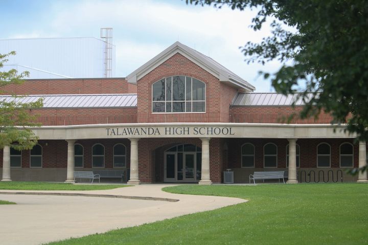
Phase V of the Oxford Area Trails System (OATS), connecting Talawanda High School to Talawanda Middle School and up to Chestnut Street from Silverleaf Drive, is now open to the public.
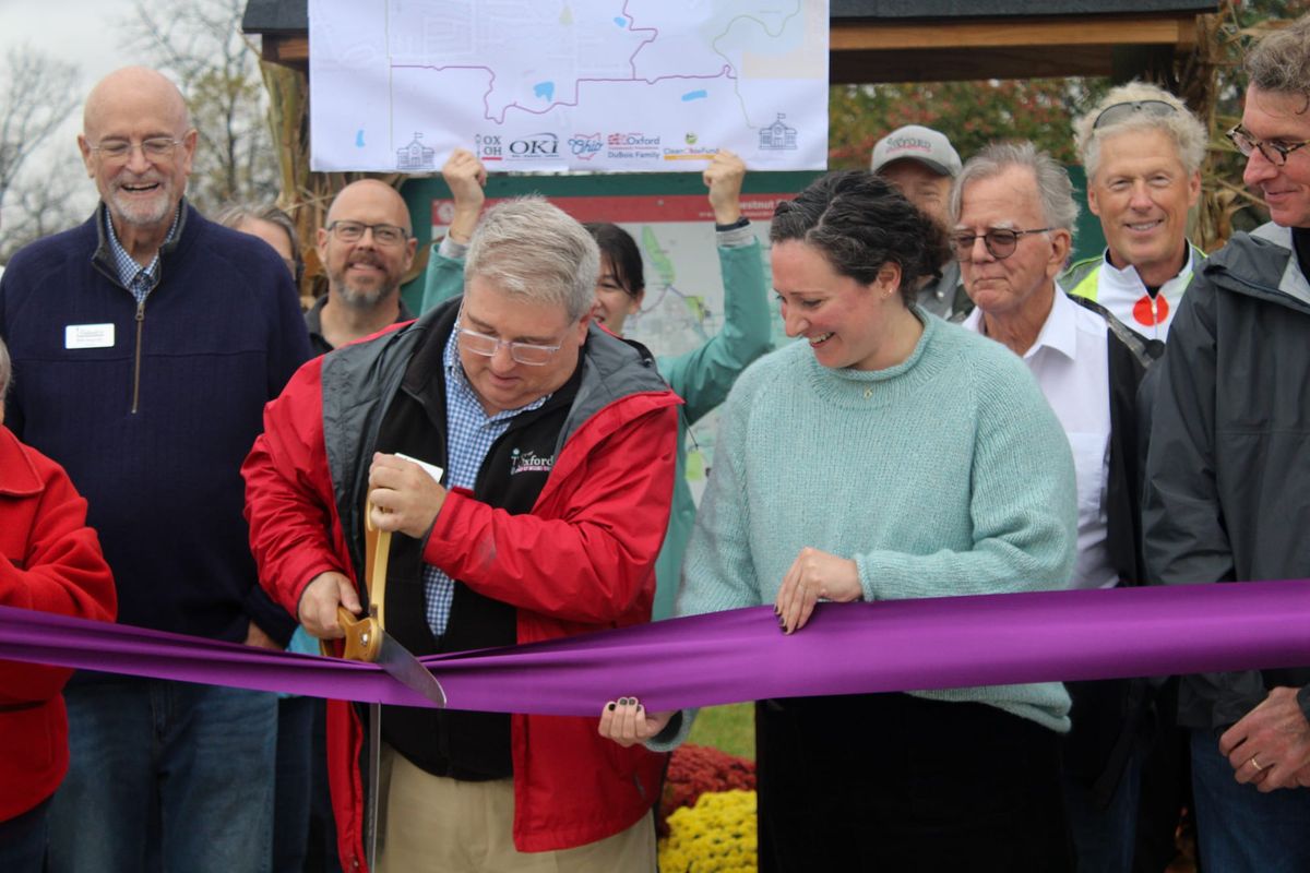
The long-awaited fifth installment of the six-part trail project to fully perimeter the city was officially unveiled during a ribbon-cutting ceremony at the Butler County Regional Transportation Authority (BCRTA) Chestnut Street Station on Nov. 4.
The new section of the trail begins at Phase III, crosses the railroad over a bridge south of Peffer Park, travels west and behind Gardenia Drive, across Kehr Road, through Cobblestone Community Church’s property and continues behind Dana Drive to connect to Phase IV south of Dana Drive. A section of the trail leads past the Silverleaf Meadows Subdivision, over Collins Creek and the former City of Oxford landfill and up to the BCRTA facility.
The east-west portion of the trail is 1.71 miles, while the north-south portion is 0.67 miles.
Construction for Phase V cost the City of Oxford $5.9 million, according to Assistant City Manager Jessica Greene, with funding coming from the Oxford Area Trail levy totaling $10 million, as well as a $2.7 million Surface Transportation Block Grant through the OKI Regional Council of Governments.
Additional funding for the OATS construction was provided through the Ohio Department of Natural Resources Clean Ohio Trail Fund, a state capital grant, and from a donation from the DuBois Family Fund through the Oxford Community Foundation.
The completion of Phase V required partnerships with several property owners and included citizen designs, design work from Bayer Becker Engineering, and work by Brumbaugh Construction.
With the opening of Phase V, 8.5 miles of the full 12-mile OATS loop is now complete.
“This section (was) hard,” Greene said during the ceremony. “There was a railroad to cross, there were streams to cross, there was a giant creek to cross. There had to be bridges. We had to get land from private property owners. There were big hills. It was a lot to undertake, and we had to make sure that we were ready to do so and had the partnerships aligned.”
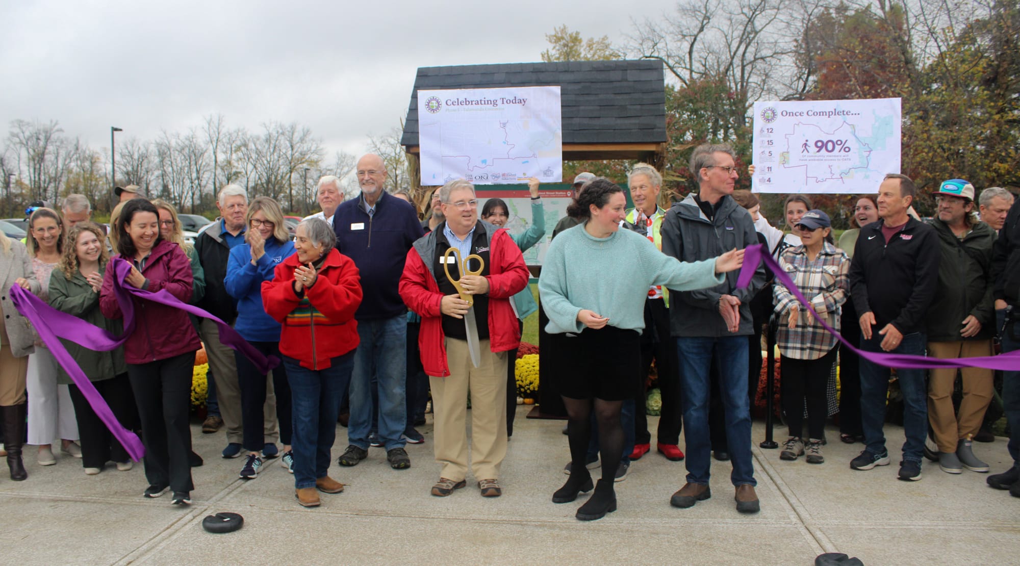
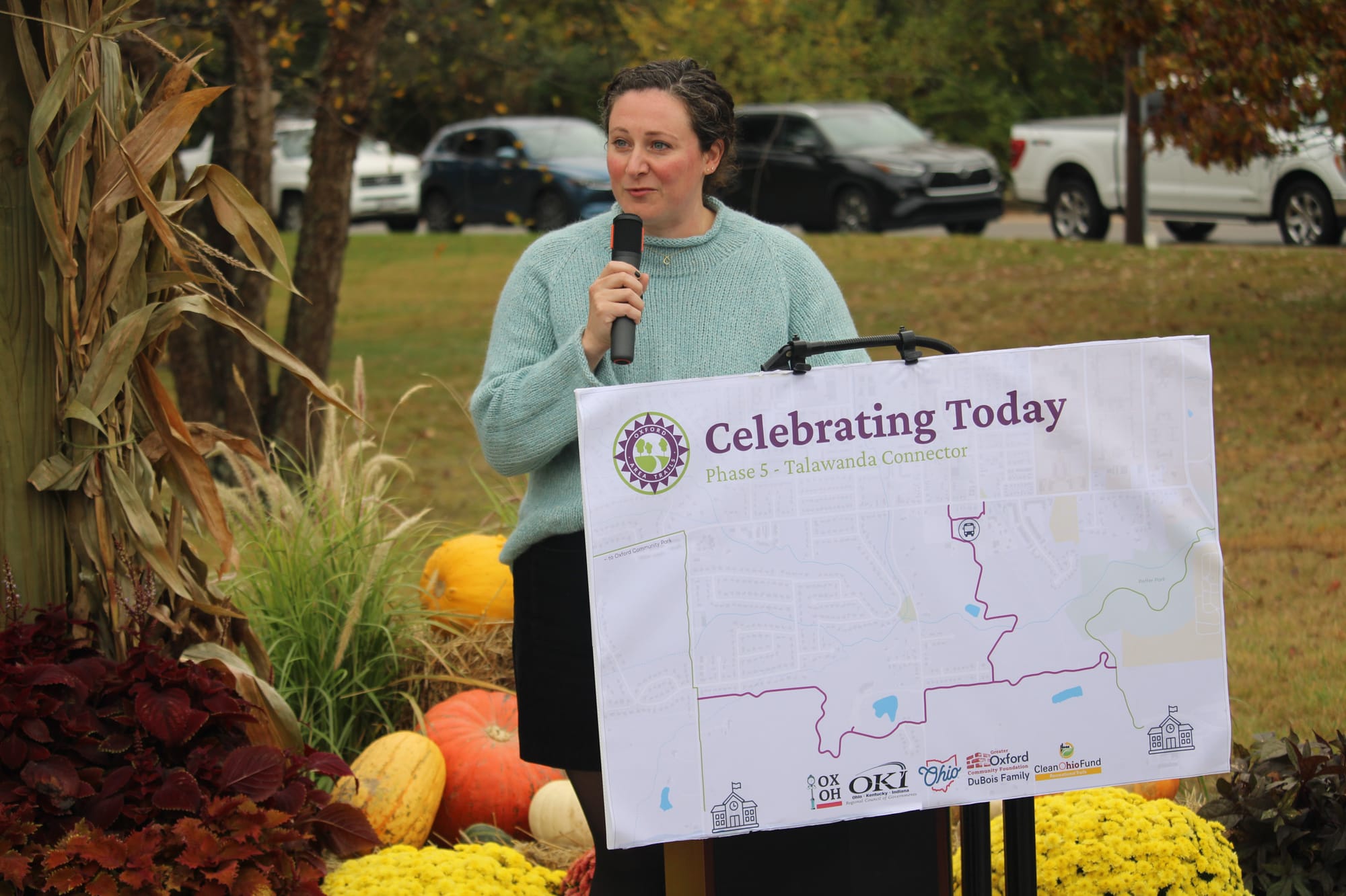
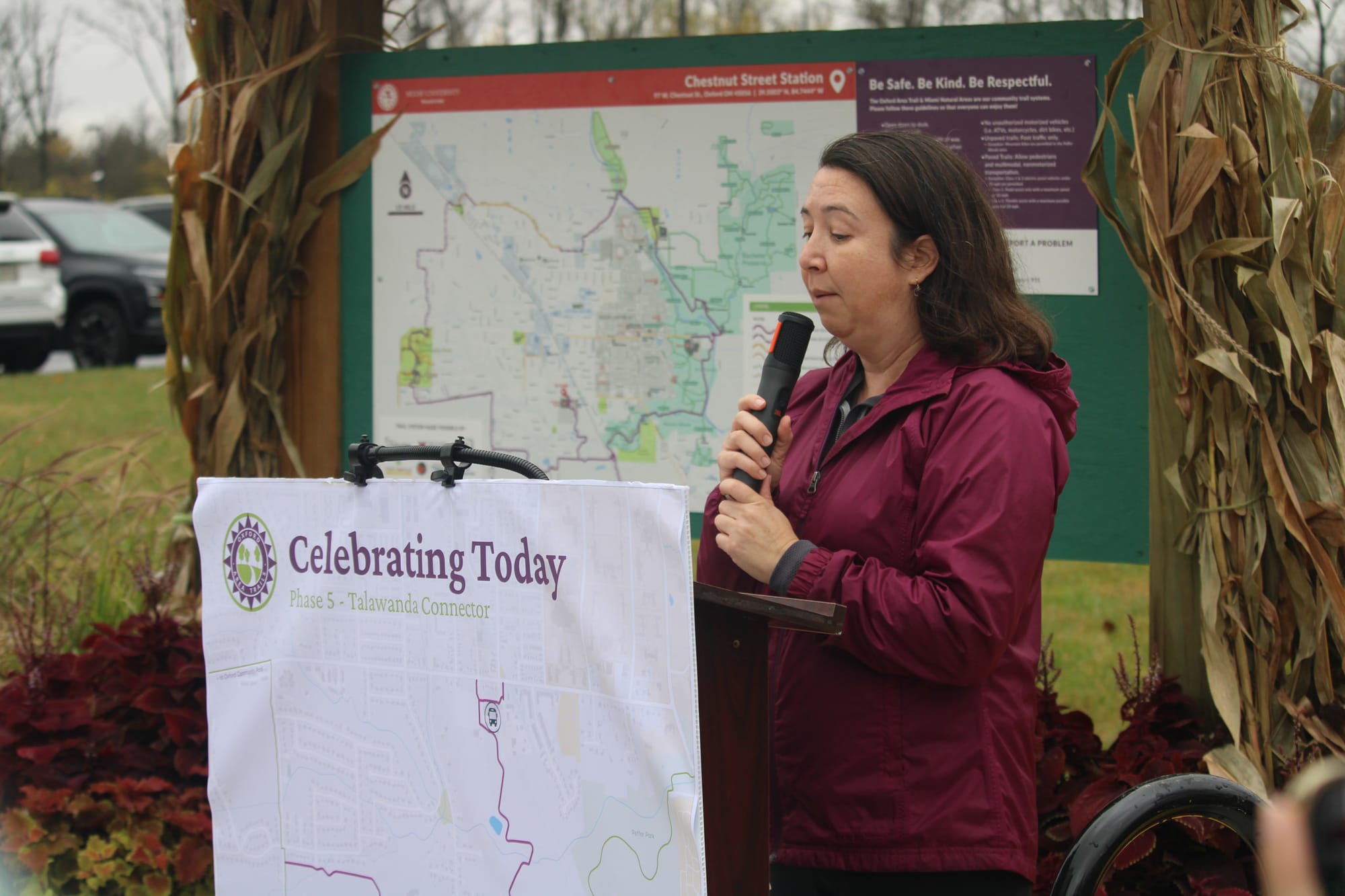
Oxford Vice Mayor Alex French and Oxford Assistant City Manager Jessica Greene speak during a ribbon-cutting ceremony for the Oxford Area Trails System Phase V at the trail opening located at the Butler County Regional Transportation Authority Chestnut Street Station at 97 W. Chestnut St. on Nov. 4, 2026. Photos by Katelyn Aluise.
The trails are accessible via walking or cycling and are monitored by the City of Oxford and Miami University Police Departments and maintained by the City of Oxford Service Department through the use of levy funds.
Scott Otto, an engineer for the city who worked on the project – overseeing design and construction, including clearing trees, grading the ground, finding where drainage needed to be added and where bridges should be built and laying asphalt – said the fully accessible trail system is a “really good feature for the citizens of Oxford to enjoy.”
“Just being able to see people enjoy it now that it’s done is really rewarding,” Otto said.
The idea to form the OATS began 28 years ago when a group of citizens formed the OATS Committee, along with representatives from the city and Miami, and completed initial engineering studies and raised money for the project. The project was officially handed over to the city in 2008.
Marty Creech, a member of the original committee, said the idea behind the OATS was to connect the schools, historical sites and parks for pedestrians and cyclists.
“I think physical activity is a good thing, and I think to be able to offer something alternative to driving your car to such short distances in town is a good thing,” Creech told the Oxford Free Press. “And highlighting again the historical sites, recreational areas and making it easier for families to get to and from those places.”
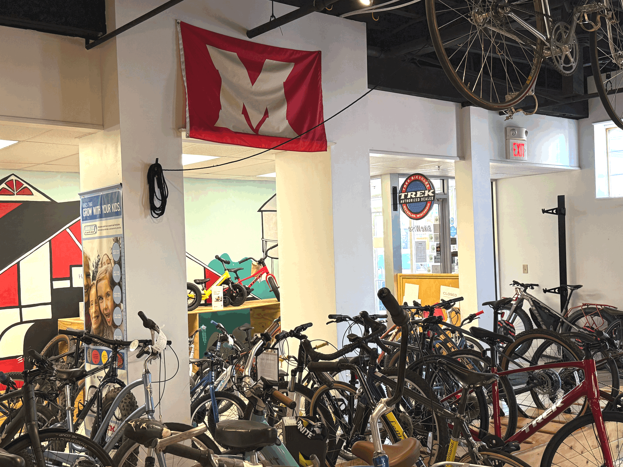
Creech currently lives in Preble County but formerly owned a bicycle shop in Oxford called Bike Center, now BikeWise, for 30 years while he helped work on the OATS project. He said at the time, OATS was in the planning stage, and the group hired a consulting firm and laid a basic route before passing it to the city.
“It’s very exciting to see (OATS) come together,” Creech said. “I’m so happy that so many people have been enthusiastic. When I’m on the trail, to see people using it and comments on Facebook about how they enjoy the trail, it’s just really great.”
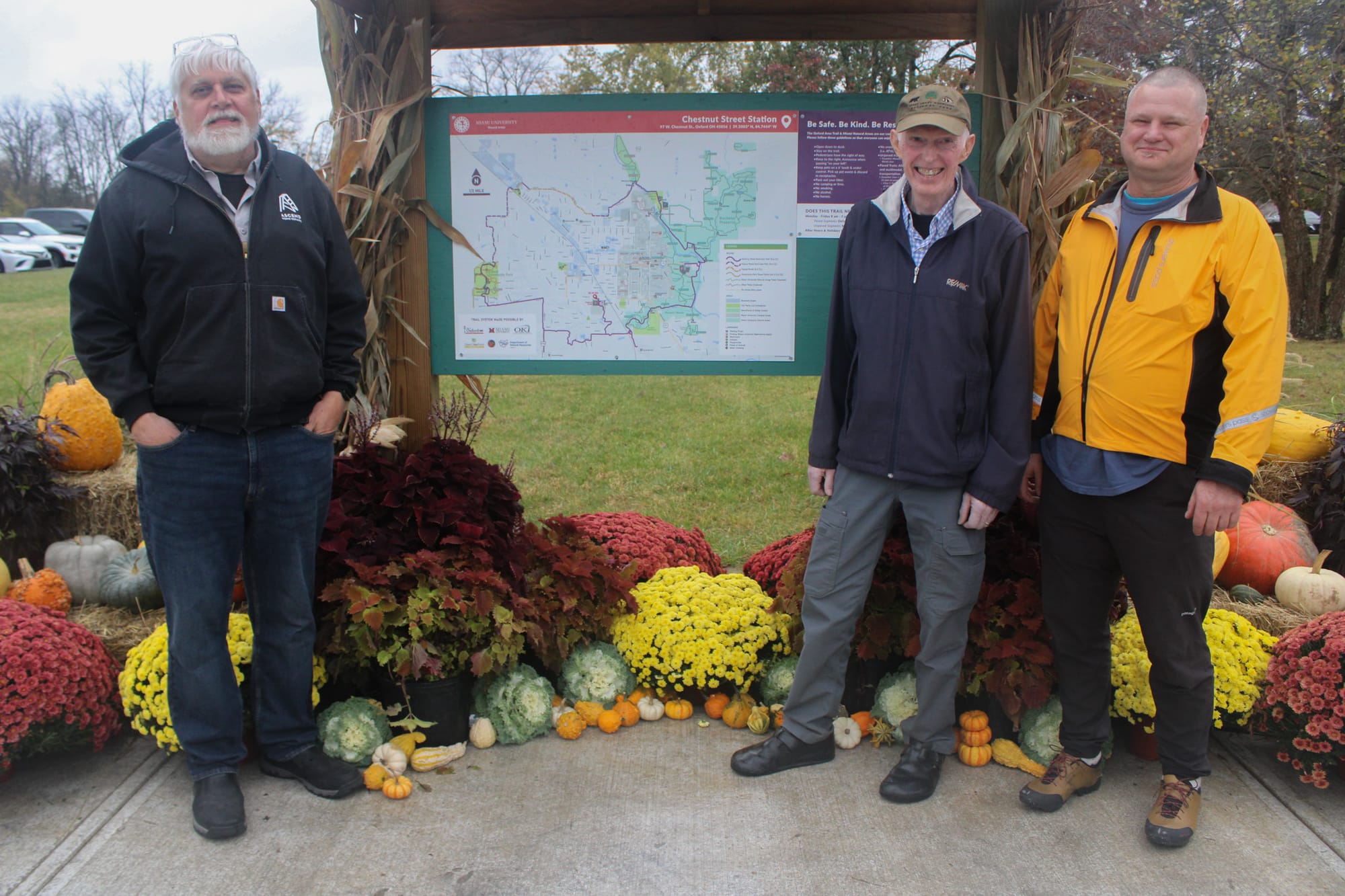
Greene said of the project, “It’s a wonderful testament to what citizens can do when they get organized.”
During the ceremony, Greene announced the city received another $4 million OKI Regional Council of Governments Grant for the final OATS phase to connect from the Oxford Community Park to the Black Covered Bridge.
Greene told the Oxford Free Press that planning for Phase VI will likely begin in 2027, meaning the city could go out for bid in late 2028 or early 2029.